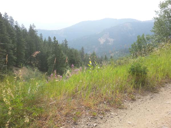
The stunning views from the Lookout Mountain trailhead are now easier, and safer, to access.
By Laurelle Walsh
Road crews for the Methow Valley Ranger District are working this summer to improve and maintain some of the more heavily traveled roads on the Okanogan-Wenatchee National Forest, including Harts Pass Road, Lookout Mountain Road, and the road to Crater Creek trailhead, as well as a number of U.S. Forest Service roads within the Carlton Complex Fire area.
Funding sources above and beyond the ranger district’s regular maintenance budget are making much of this road work possible, according to Dave Colbert, road manager for the Okanogan-Wenatchee National Forest. One source of funding is Title II funds for road improvements, which became available this year thanks to Congress’s 2015 reauthorization of the Secure Rural Schools and Community Self Determination Act. And Burned Area Emergency Response (BAER) funding has allowed the Forest Service to make road improvements that mitigate the potential long-term effects of the Carlton Complex Fire, Colbert said.
On Lookout Mountain Road, Harts Pass Road and the Crater Creek road, road improvements have included restoring ditch lines, cleaning drainage culverts, and reshaping road surfaces. “This not only improves the driving experience that forest users encounter when traveling these roads, but also reduces the risk of future damage to the road due to heavy rain fall and snow melt,” Colbert said. It also reduces sediment runoff from the roads into adjacent streams, he added.
Approximately 50 miles of Forest Service roads within the Carlton Complex area are continuing to receive “treatments,” which include the maintenance of road ditch lines, cleaning out of culverts, installation of drain dips in road surfaces, and reinforcement of erosion-prone parts of roads with rock or geotextile material.
Since fall of 2014, BAER funds have allowed the ranger district to perform these treatments on roads in the Black Canyon, Squaw Creek, McFarland Creek, and South Fork Gold Creek drainages; roads in the South Summit area, including Benson Creek and Finley Canyon; and roads in the Volstead Creek and Cougar Creek drainages east of Winthrop. “This work will reduce risks to these roads and their surrounding areas should high rain events occur in these areas or watersheds,” Colbert said.
For current information on Forest Service road conditions, go to www.fs.usda.gov/detail/okawen/alerts-notices/?cid=stelprd3820244.


